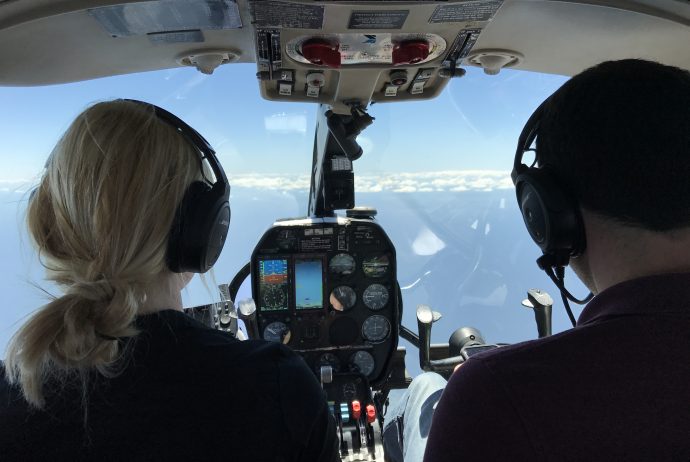
An integral part of CARTHE research is aerial ocean observations. In the past, we have used balloons, kites, helicopters, drones, and planes. During SPLASH, we are using 5 drones (drone post coming soon) and 2 planes. Scientists from UCLA and University of Brest have equipped a plane (a Partenavia Observer) with specialized instrumentation for measuring sea surface temperature, sun glint (for surface roughness), and color (for observing visual fronts), as well as high precision position and time measurement to reconstruct the whole picture.
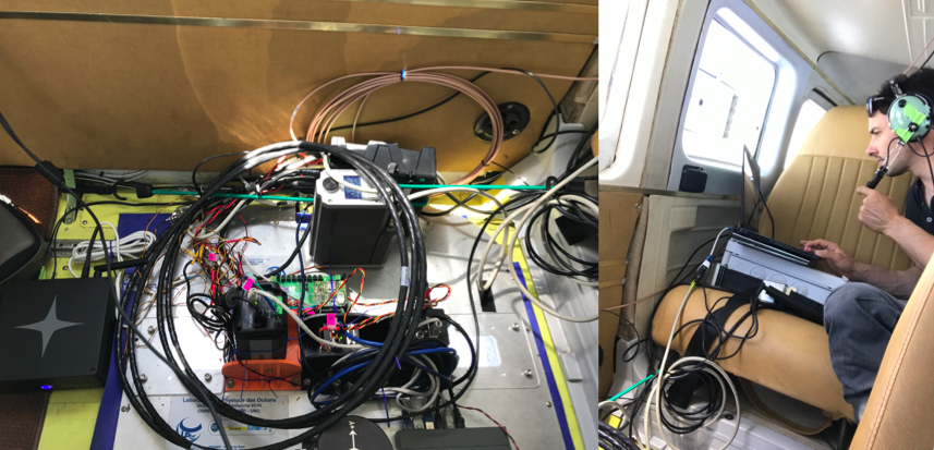
(L) Infrared camera, near infrared camera, panchromatic camera, IMU, and satellite connection; (R) Nico Rascle assessing data while in flight
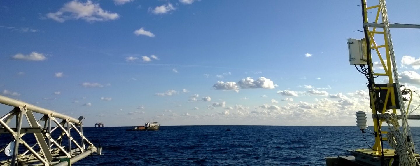
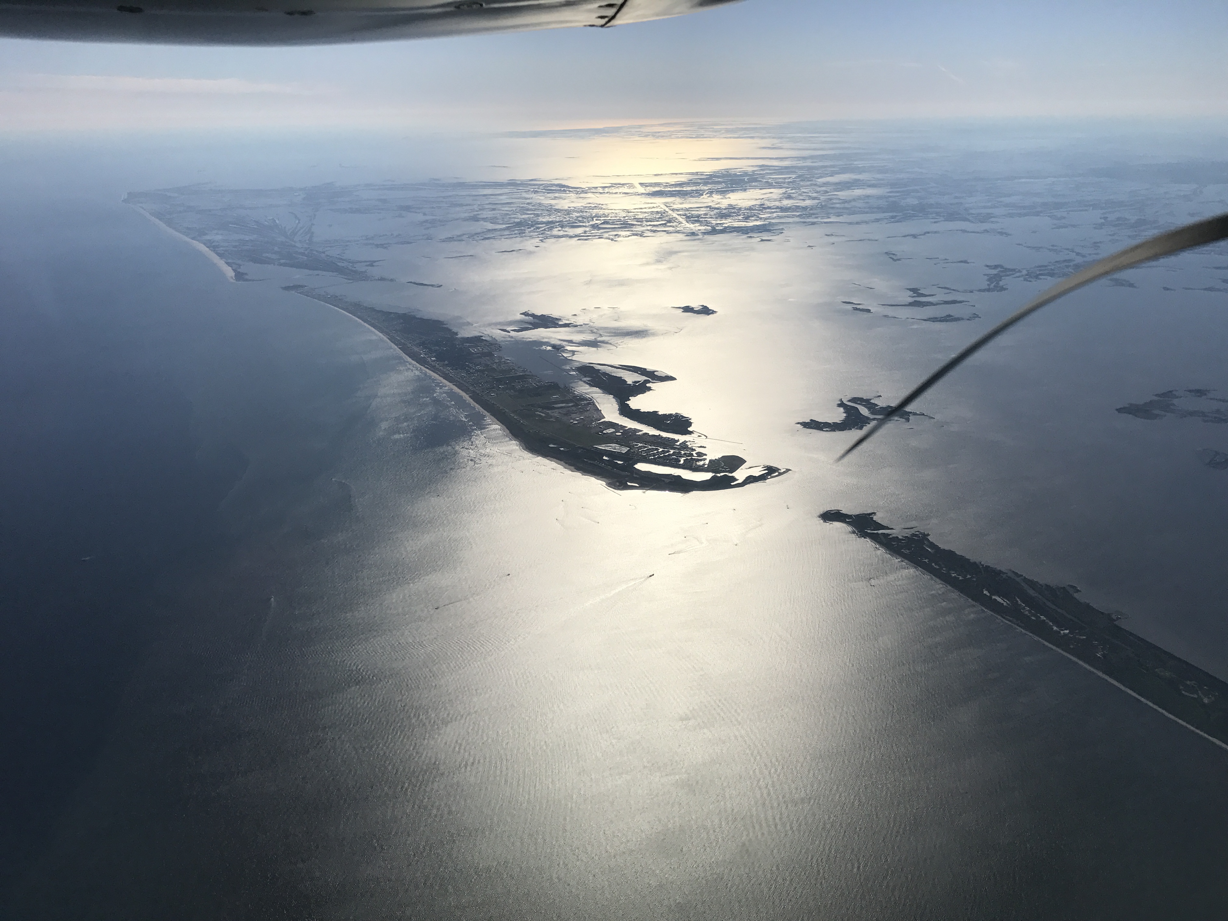
We have been flying over the SPLASH experiment area (Louisiana Bight, west of Mississippi, off Grand Isle, LA) nearly everyday since the experiment began. Some days the plane flies a more general pattern to assess the entire area, while other days it identifies a feature of interest (a front or eddy) and focuses on that.
Video of front from plane from CARTHE on Vimeo.

Ship moving through a front, possibly with oil
The day before a planned dense drifter deployment the plane will fly over the study area to assist with selecting the exact location that we wish to release the drifters. The data can be processed within hours and sent to the lead scientists for immediate decision making in the field.
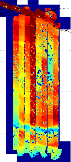
The IR images show the colder water of the Mississippi river outflow, curving to to the North. The blue specs are scattered clouds that show as very low
temperatures.
By collecting data from the air, sea surface, and below the water, we can have a full picture of the complex motion of the currents.
Good night from Grand Isle